
Start a Lewis County Property Records Search With the Parcel
A street address points to the parcel. Start with the WV Property Assessment search or the Lewis County Assessor's linked map tools. Write down every parcel identifier the card shows, plus the situs address, owner name, mailing address, district, map, and legal description. Those fields let you cross-check the County Clerk's latest deed and the Sheriff's tax record. Order matters here. A fresh deed can outrun the annual assessment display. Addresses also drift, since the situs may be missing, abbreviated, or changed since the land was conveyed.
A name is only a lead. Owners share names. A deed may also name an estate, a trustee, or a company rather than the person you expected. Match the legal description and the recording reference before treating two results as the same tract. Maps orient you, but the recorded instrument controls.
- Search the state assessment viewer or county Assessor tools with the situs address or owner.
- Copy the parcel ID in its full and abbreviated forms, then note the legal description.
- Confirm the newest recorded instrument through the County Clerk land-records index.
- Check assessment and tax status with the Assessor and Sheriff, then view the parcel in GIS.
- Ask the custodian for a copy or older record when the online index does not expose it.
The statewide WV Property Viewer is the front door for a Lewis County property search. Its attributes refresh on an annual cycle. A fresh deed is the next check.
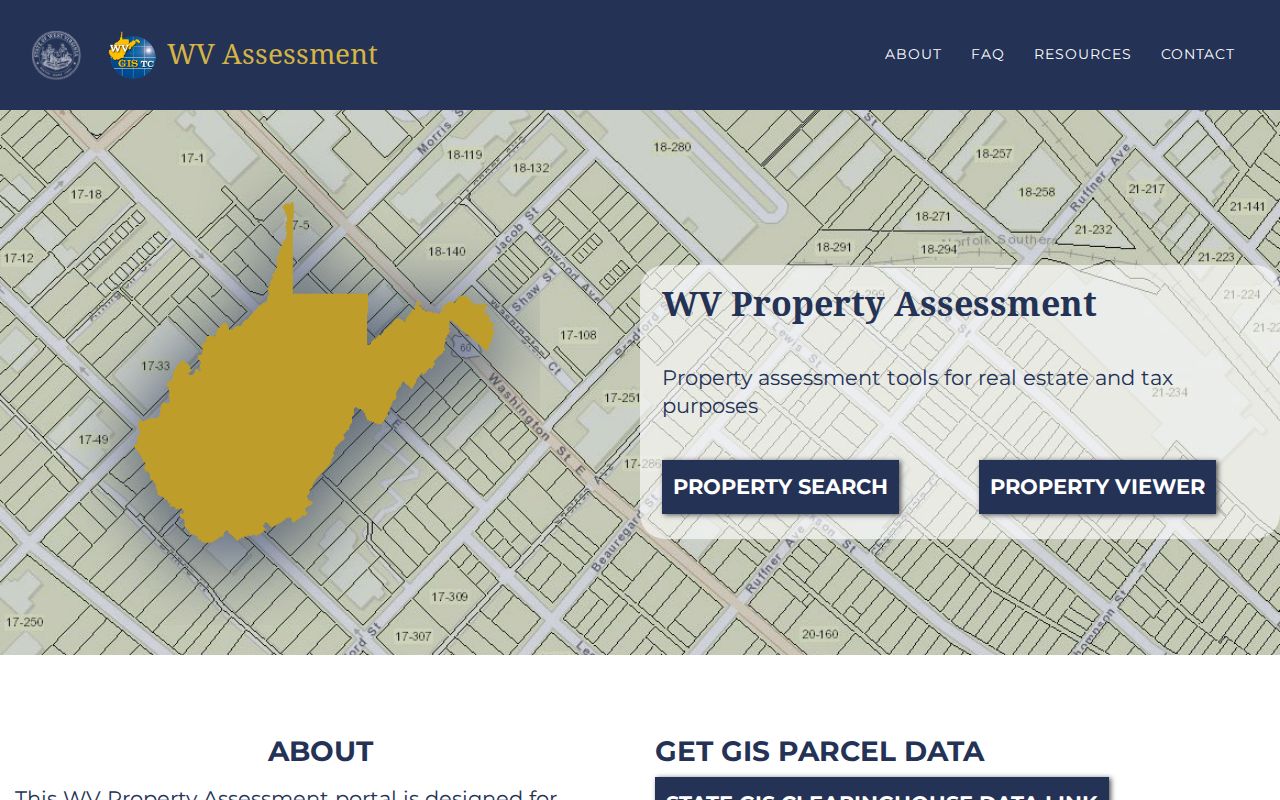
The state viewer is only the starting point. Take the parcel key it returns and carry it into the county's deed, tax, and map sources rather than treating one screen as the full file.
Three Lewis County Offices Keep Different Records
Three Lewis County offices split the work. The Assessor lists and values property. The Clerk records deeds and other land documents, while the Sheriff serves as county treasurer for real and personal property taxes. Lewis County property records become much easier to verify when those roles stay distinct. Each portal is a starting point only. The office holding the source record can confirm a result or explain how a correction gets made.
Read the Lewis County Parcel Key Across Portals
A West Virginia parcel identifier has six parts: county code, district code, map number, parcel prefix, parcel suffix, and special ID. Copy Lewis County values from the live card. The county code and local district ranges are not worth guessing. Shorter forms exist. The GIS Parcel ID drops the special ID. CAMA and IAS formats leave off the county code, so a compressed District-Map-Parcel search can look unlike the full key. It still points to the same tax parcel.
| County and district | Identifies the county and local assessment district; confirm the displayed Lewis County values. |
|---|---|
| Map | Points to the assessor map sheet or tax map. |
| Prefix and suffix | Separate parcel components within the map scheme. |
| Special ID | Additional state viewer component, omitted from GIS Parcel ID. |
Never borrow a sample format from another county. A Lewis County number has to come from the live card. Preserve the punctuation exactly when you move the key from the assessment viewer to a deed, map card, or tax portal. That key is the bridge between systems.
When the Lewis County Assessment Roll Changes
The Assessor values real and personal property annually as of July 1. The state viewer refreshes its attributes with annual assessment information, so its owner and value display is a dated roll, not a deed-by-deed live feed. A simple ownership transfer on an existing parcel may not appear right away. For a recent sale, compare the assessment result with the newest County Clerk instrument and ask the Assessor about an update if the card remains stale.
Geometry has its own lag. The statewide guidance says a transfer between July 1 and June 30 must be reflected on revised maps submitted by February 1 of the following year. New parcel lines can wait for the county map change, and the state says to contact the local Assessor when lines remain stale after two years. This distinction helps explain why the deed, owner card, and map can temporarily disagree without any one screen serving as a complete history.
Use the Lewis County property search route when you need the address-to-parcel steps. Keep the date of each screen beside the deed recording date so later checks can account for the annual cycle.
The Record Sets Behind a Lewis County Parcel
Lewis County property records span recorded land instruments, assessment and tax information, maps, and municipal permits. No single office has every answer. The Clerk's deed documents a transfer. An assessment card reports annual values and parcel attributes. The Sheriff tracks the tax bills and payments, while GIS layers help locate a surface parcel. A Weston zoning file or a Jane Lew municipal request adds land-use history, but neither replaces the county ownership record.
| Record Type | What It Documents | Kept By | Access |
|---|---|---|---|
| Deeds and estate deeds | Grantor, grantee, legal description, and recorded transfer | County Clerk | County inquiry portal; coverage and copy fees not stated |
| Deeds of trust, liens, releases | Recorded security interests and later release instruments | County Clerk | Search the land-record categories, then confirm the document with the Clerk |
| Assessment and exemptions | Owner, situs and mailing fields, parcel, value, and tax class | County Assessor | Assessor and WV Property Assessment portals; annual cycle |
| Tax bills and delinquency | Current charges, payment status, discounts, and interest dates | Sheriff as treasurer | Tax portal or office; card fee applies online |
| Plats and surface parcels | Recorded lot layout and tax-map geometry | Clerk, Assessor, and GIS | Viewer and index; map-card copies require an office visit |
| Municipal permits | Zoning applications, plans, conditions, and notices in Weston | City of Weston | Request inspection at City Hall; no online lookup located |
Ask the Clerk what was signed and recorded. Ask the Assessor for the annual parcel and valuation view. Ask the Sheriff what is owed or paid. That division of labor is why any search result deserves a check against its source office before it feeds a property decision.
Weston and Jane Lew Add a City Records Layer
Weston and Jane Lew are Lewis County's only municipalities. Neither one runs its own recorder or assessor. The County Clerk, Assessor, and Sheriff stay the core custodians for ownership, values, taxes, and parcel references. City records answer narrower questions. They show whether a project went through zoning review, which plan was filed, or whether a code matter was documented.
Weston puts its zoning-permit process in writing. An owner, or an authorized agent, files an application describing the proposed use, with a scaled plan showing lot dimensions and structure location. The zoning officer keeps applications, permits, plans, conditions, and notices at City Hall. All are open for public inspection. A zoning permit never substitutes for a building permit. Jane Lew publishes no online permit or zoning search, so ask the town directly and provide the street address and county parcel number.
For a city-specific route, see the Weston property records guide. Either way, confirm the GIS municipal boundary before treating a parcel as inside town limits. A mailing city or ZIP proves nothing.
Lewis County Tax Bills Follow a Fixed Annual Calendar
The Sheriff also acts as county treasurer. Tax bills issue on July 15. Pay the full year or the first half by September 1. That earns a 2.5 percent discount. The second-half discount date is March 1. Interest begins after October 1 on an unpaid first half. It begins after April 1 on an unpaid second half, at 9 percent per year. Those figures describe the tax account only. They say nothing about market price or the current sale value of a parcel.
Accepted payments include cash, check, cashier's check, money order, and credit card. The card fee runs 2.95 percent or a $2 minimum, whichever applies. A mailed payment should include a self-addressed stamped envelope to get a receipt. The Assessor lists the online tax search. The county payment site is a separate route. Start from an address or parcel number. Call the Sheriff at 304-269-8222 when a tax bill status is unclear.
Lewis County Property Class and Exemptions Shape the Tax Roll
West Virginia generally assesses property at 60 percent of market value, with the statutory class driving the treatment. Class II covers owner-occupied residential property and qualifying farms. Class III covers property outside municipalities. Class IV covers property inside them. Each class applies apart from class II property, so location and occupancy both matter. A class code on the property card is part of the record, not decoration, so check it against the property's use and location before using the value in a tax calculation.
A homestead exemption may help eligible owners. The owner must be at least 65 or permanently and totally disabled, meet West Virginia's two-year residency rule, and file properly. It covers the first $20,000 of assessed value. Forested land may qualify for Managed Timberland treatment in certain property classes, with annual certification from March 1 through September 1. Applications and proof vary by status. Ask the Assessor which ones fit the parcel. Never assume an exemption is automatic.
Lewis County Deed Records Include More Than Sales
The Clerk's land-record categories reach well beyond sales. The list covers deeds, deeds of trust, judgments and other liens, releases, cemetery deeds, restricted military discharges, trustee reports of sale, plats, assignments, agreements, and affidavits. Pick the instrument that matches your question, then read any linked release or later deed. The Clerk publishes no stated online cutoff, image coverage, search fields, or copy fee. Confirm the details with the Clerk. Never assume a year or free image access.
A 2014 West Virginia Attorney General opinion describes a digitization proposal for Lewis County property and mineral records, funded privately under Clerk supervision and competitive bidding. The plan included scanning bound and loose-leaf records, reporting missing pages, delivering compatible digital images, and keeping public access equal. It reflects Marcellus Shale-era demand. It is a proposal, not proof. Every deed year is not necessarily online.
Choose the instrument type with care. The Lewis County land-record categories list maps the options before you search.
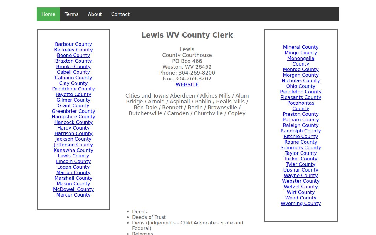
The Lewis County land-record index helps identify document categories. The county inquiry portal is the separate search route for the records themselves.
Lewis County Property Records Can Name an Entity or Estate
Not every owner of record is a person. A recorded deed may name an LLC, trustee, executor, or estate. The Assessor may carry that same capacity into its owner field. West Virginia's Secretary of State offers a free business-entity lookup and advanced search. The detail can confirm an entity's legal name and registered agent. A registered agent is a contact, though, not proof of beneficial ownership. The state business record establishes no title to a Lewis County parcel.
Probate adds another layer to a property history. Lewis County probate files are handled by appointment. Executor deeds may be recorded by the County Clerk. Keep the two records distinct. The probate file explains an estate proceeding. The deed records a conveyance. If an entity, trust, or estate name is unfamiliar, ask the Clerk which recorded document or reference to examine next.
Lewis County GIS Shows Tax Parcels, Not Survey Lines
The Landmark GIS viewer states its own limit plainly. Lewis County tax maps exist for tax purposes only. They are not survey plats, not legal documents, and they cannot be used in court. The map is still handy for linking an address to a surface parcel. Just remember that a line on the screen is not a surveyed boundary. The statewide viewer adds that deeded acreage always outranks the acreage the GIS calculates. Before a fence, a sale, or a boundary dispute, rely on the deed records. Call a licensed surveyor. Do not trust a measurement taken from a map image.
Minerals are a separate matter. The viewer's parcel layer shows surface parcels only. It cannot tell you who holds subsurface rights. Older deeds in Lewis County sometimes reserve minerals. They may cite leases and releases that no surface card will display. When mineral ownership is the question, trace the Clerk's record trail. Ask the relevant state mapping section whether separate mineral data exists.
Open the Lewis County Landmark GIS viewer and read its tax-map notice.
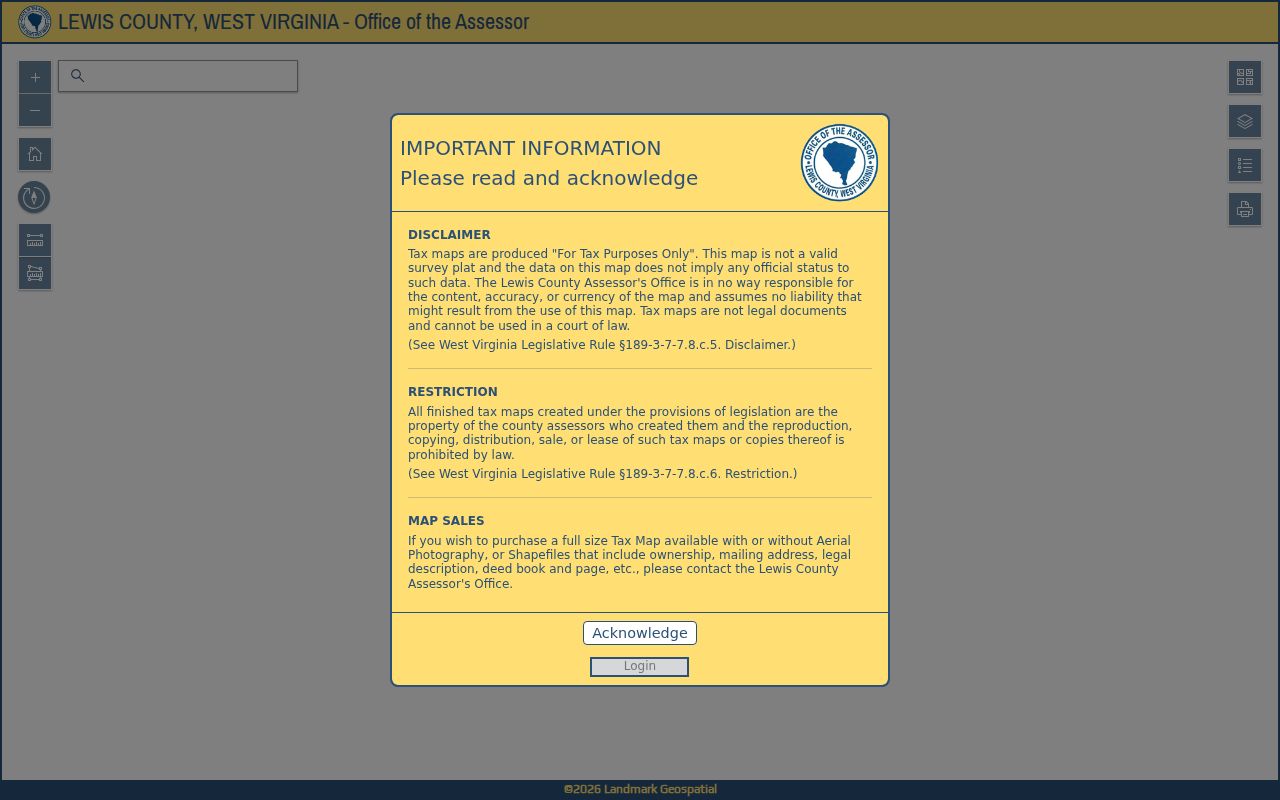
Read the Landmark GIS notice before leaning on the map for orientation. That disclaimer is part of the data itself.
Older Lewis County Records Need an Offline Fallback
The County Clerk category page posts no earliest online year. The first deed book's identity and survival history are not stated there. Work the chain backward instead. Start with the newest instrument. Note its legal description and every reference it cites. Then ask the Clerk which deed book or index volume continues the chain back. The office sits at 110 Center Avenue in Weston. Estate matters are handled by appointment, so call ahead before planning any probate search.
West Virginia's Freedom of Information Act sets practical rules. It covers records that are not posted online. A request must be reasonably specific. The public body has to respond as soon as practicable. It must act within five days, excluding weekends and legal holidays. Its reply can produce copies, offer a time and place for inspection, or deny the request in writing with reasons stated. It may charge the actual cost of reproduction but nothing for search or retrieval labor. These request rules do not override court-file rules or confidentiality limits. They simply give you a route when an older municipal or administrative record stays offline.
Read the West Virginia FOIA text for the response window and reproduction-cost rule.
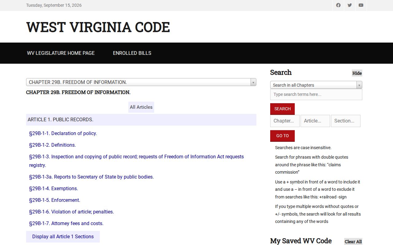
The West Virginia FOIA text is the authority on the response window and the cost rule. Send any request to the office that keeps the record.
What Lewis County Property Records Leave Unanswered
A public record shows what an office recorded or assessed. It cannot prove that an unrecorded claim is absent. An assessor card is not a current title opinion. A tax map is not a survey. An assessed amount is not an appraisal for a sale. A tax bill does not even establish who occupies a home. Every record has a custodian, a date, and limits. Those limits matter when something real depends on the answer.
Lawful use. Use Lewis County records for property research, ownership history, tax questions, and civic review. Do not use owner details to stalk, harass, or harm a person, and get a title professional or surveyor when a legal conclusion is needed.