
The Lewis County Property Search Route
The Assessor connects to the statewide WV Property Assessment search and to county mapping tools. Start with a physical address when you know it. Write down the owner and mailing fields, situs, tax district, map and parcel, and every parcel ID format shown. Note the owner of record and mailing address too. Take those values to the Clerk's instrument index to confirm a transfer. Landmark GIS handles boundary questions. The Sheriff's portal covers tax status. Each hop answers a different question. Keep the record date and source with your notes. A Lewis County parcel number ties all of these threads together.
- Enter the situs address or owner in WV Property Assessment or the Assessor's property services.
- Copy the parcel key, legal description, owner, mailing address, and assessment fields.
- Use the grantee and legal description to find the latest deed at the County Clerk.
- Compare the same parcel in Landmark GIS and the Sheriff tax account.
- Call the custodian for image access, older indexes, or a correction the portal does not show.
The statewide viewer supports owner and location search. Not every address format or owner-name variant will match on the first try, so be ready to try alternatives. Begin at the WV Property Assessment portal, the statewide entry point for a Lewis County search.
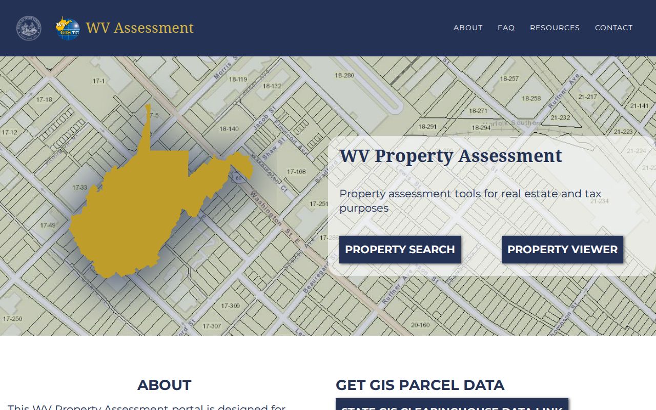
The statewide portal is the starting point. The Lewis County Assessor remains the local source for assessment corrections.
Lewis County Property Search Fields and Gaps
The state help describes several identifiers and display layers. The live search form is dynamic. The county map-card screen is more specific. It exposes District, Map, and Parcel selectors. Treat the documented concepts separately from controls that need a live check. Copy what the portal actually shows. Avoid treating a likely search mode as a verified button. A careful property search depends on the real labels, not the expected ones.
| Field or key | What research confirms | How to use it |
|---|---|---|
| County, district, map, parcel | Statewide identifier parts; map-card selectors are documented | Start with exact card values |
| Parcel prefix and suffix | Included in the six-part statewide ID | Keep punctuation and zeros |
| Special ID | Part of the full ID; omitted from GIS Parcel ID | Use the format required by each screen |
| Owner and location | State viewer supports ownership/location information | Confirm matches through deed references |
| Address, owner, map | Exact dynamic field labels not verified | Check the current portal before assuming a mode |
A displayed owner or location field can be wrong. The Assessor is the local correction source. The map card is not an online download; copies require a visit to the office. For a simple address lookup, use the statewide view as the broad entry. For a particular county card, use the county selectors instead.
Use the Lewis County Map Card Selectors
The county map-card viewer is a narrower tool than the statewide property search. Its visible controls ask for District and Map/Parcel values. That makes it useful after an address search has produced the parcel key. Without those values, do not guess at the map number. Return to the state viewer or contact the Assessor instead. The Lewis County map-card viewer shows the district and map/parcel controls used for this step.
A map-card image can add parcel-level detail. Copies require a visit to the Assessor's office. The office publishes no online fee, mail-copy procedure, or complete list of card fields. Call 304-269-8205 before traveling. Name the district, map, and parcel you need. Keep the request focused so staff can locate the right card quickly.
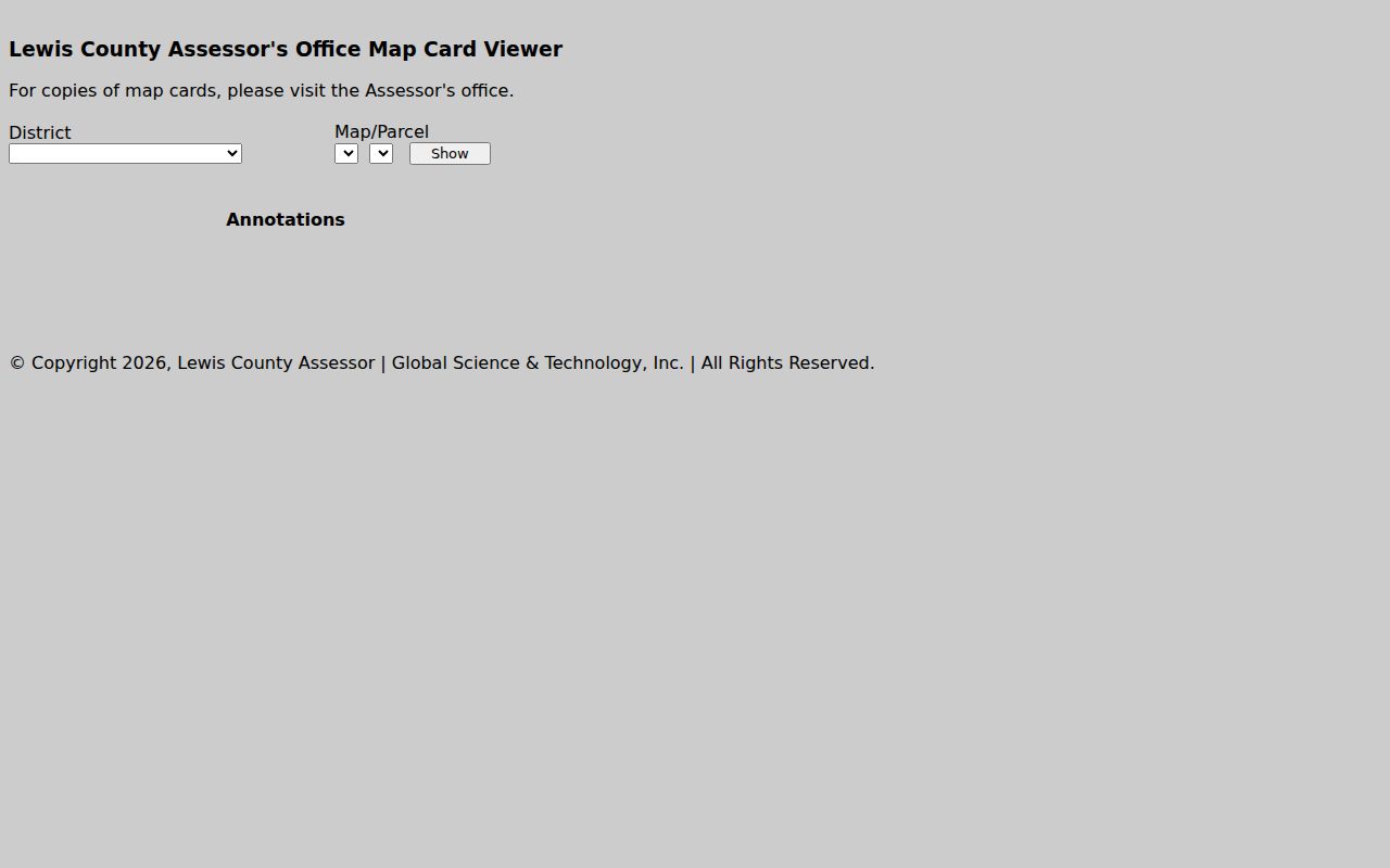
Treat the selector labels as a clue to the parcel key. Then confirm the legal description against the deed before relying on a sketch or a calculated area.
What a Lewis County Property Search Result Carries
Read a search result as a set of cross-reference fields. The statewide viewer shows ownership and location information. The county map-card viewer accepts district, map, and parcel selectors. Exact owner-field labels and live sample values vary from screen to screen. Some county card fields vary as well. Use this inventory as a checklist when viewing the current property record. Do not assume every item appears on every screen.
| Owner / owner of record | State viewer reports ownership and location; confirm a recent change in the newest deed. |
|---|---|
| Situs and mailing | Physical parcel location and tax-notice destination may differ. |
| Parcel ID | Six-part state key, with shorter GIS and assessor forms also in use. |
| Value and tax class | Annual assessment information; exact live labels should be read on the current card. |
| Legal description | Recorded lot and block, plat reference, or metes-and-bounds calls. |
| Sale or deed reference | Use Clerk recording details to confirm the transfer; sample values were not captured. |
No card alone certifies title, proves a boundary, or settles a sale price. The annual viewer may lag a recent transfer. A calculated map area is not deeded acreage. If the person, parcel, and legal description do not line up, pause before treating the result as a match.
Choose the Best Lewis County Property Search Key
An address is the quickest way into an improved parcel. Still, it can be abbreviated or missing. It can also differ from the address used when a deed was signed. An owner name finds property when the address is unknown. But initials, estates, trusts, and business names can split the results. A parcel ID is the strongest cross-office key once you have it. Each portal may display a different shortened form. Keep the legal description beside all three identifiers throughout your Lewis County property search.
| Search Key | Best For | Where It Works | Watch Out |
|---|---|---|---|
| Situs address | One physical property | WV Property Assessment; county GIS | Address may differ from mailing or deed wording |
| Owner name | Records connected to a person or entity | Assessment search; Clerk index | Same names, trusts, estates, and LLCs require cross-checking |
| Parcel ID | Cross-office match after discovery | State viewer; map card; GIS | Preserve full and abbreviated forms |
Not a title search. A Lewis County property search finds public records, but it does not establish clear title or identify every unrecorded interest. Use a title professional for a title opinion.
Carry the Six-Part Parcel ID From Search to Search
West Virginia builds its parcel ID from six parts: county code, district code, map number, parcel prefix, parcel suffix, and special ID. The statewide sample format is not a Lewis County parcel number, so treat it as a template rather than a local example. Lewis County's code and district values belong to a live property result instead. The county map-card viewer shortens the key to district, map, and parcel, and other tools may label the same object a GIS Parcel ID or a CAMA/IAS ID.
Write the complete value down first. If a portal rejects it, try the short form the screen itself displays. A shortened key can still point to the parcel, even without every identifier component. The legal description offers a second check on the match, especially for older rural tracts described by calls and adjoining owners rather than a street number.
Keep Situs, Mailing, and Deed Addresses Separate
Situs is the place where the land or building sits. The mailing address is where the tax notice goes. It may fall outside the parcel. Near Weston or Jane Lew it may name a town even when the legal situs is unincorporated. A deed can carry an older street name or no street address at all. The parcel ID and legal description are therefore stronger matching keys than a postal line.
The assessor's street-wide result behavior and the GIS address control each work the way the office builds them. An address that returns nothing is not an error in itself. Try a known owner or map-card value. Compare the situs and mailing fields. Then contact the Assessor with the location description. Do not turn a mailing city or ZIP into a municipal boundary claim. Use the GIS municipal layer or ask the local office.
Allow for the Annual Roll and a New Deed
The state viewer updates attributes annually with assessment information. Simple ownership-only transfers can lag its current display. The owner field may predate a recent closing. Search the County Clerk's index for the new instrument. The recording date and grantee form the best paper-trail check for the transfer. The assessor display still serves the tax parcel, mailing address, and annual values. But a newer recorded deed should control even when the viewer is easier to read.
Parcel geometry moves on its own schedule. Under statewide guidance, a transfer between July 1 and June 30 must be reflected in revised maps. Those maps are due by February 1 of the next year. After a split or a conveyance from a larger tract, the legal description may change. The viewer may not draw the new lines yet. Keep the old and new parcel references together when following a transfer.
When to Ask the Lewis County Assessor
Call the Assessor when a property is missing. Two cards may appear to cover one site. An owner field can lag a deed. A map-card copy may be needed. The office discovers, lists, and values property each year. It is the correction source for its own annual record. Give staff the address, the district-map-parcel key if known, the legal description, and the recording reference. Those details separate a data correction from a title question.
For a disputed deed, probate transfer, lien, or release, the County Clerk holds the instrument. For a payment or delinquency question, the Sheriff Tax Office keeps the account. Send each question to the right custodian. That keeps the property search result from being mistaken for a combined file.
Search Lewis County Property Records by Owner Name
An address may be missing, or a rural tract may have no clear situs. A name search also helps with a business or an estate. Treat a name hit as an index clue, not a confirmed parcel. Common names may return multiple tracts. A married name may differ from an older deed. An LLC or trust may be indexed under its legal name. The individual who manages it may not appear at all. Compare each result's district, map and parcel, legal description, and deed reference.
For a business owner, the West Virginia Secretary of State offers a free entity search. It shows entity details and a registered agent. A formal certificate costs $10. Those records help you match the exact legal entity name. They do not identify every beneficial owner. They also do not prove the company owns a particular parcel. Return to the County Clerk's instrument index for the recorded deed that connects an entity to land.
A empty result is not the end. Try a middle initial. Try a known prior surname. Consider an estate or trustee capacity, and add the full company suffix. Note the spelling used in the source document. Punctuation and abbreviations can shift between the assessor display and the deed index.
Choose the Lewis County Office That Holds the Record
A Lewis County property search usually touches more than one office. The county keeps recorded instruments, yearly assessments, tax bills, and map data in separate places. The County Clerk, at 110 Center Avenue in Weston, WV 26452, telephone 304-269-8215, records deeds and other land documents. The Assessor, at 108 Center Avenue, telephone 304-269-8205, keeps the parcel and valuation records. The Sheriff Tax Office, at 110 Center Avenue, telephone 304-269-8222, manages each tax account. Begin with the custodian who owns the field you need.
A deed date, for instance, sits in the Clerk's instrument record. Classification questions go to the Assessor. Whether an installment was paid is a matter for the Sheriff. One office's portal may link to another's site, yet that link does not merge the property records or their update schedules. Save a copy or citation for every deed, parcel, or tax roll result, and note when you retrieved it.
What to Do When a Lewis County Property Search Finds No Match
A blank result is rarely the last word. The address may be abbreviated in the system. The parcel number may be incomplete. The map card may simply lag behind recent changes. Or the source may not cover the historical period you are searching. Try the owner name instead, or use the district and map/parcel key from a deed. Compare the situs address against the mailing address. Also check whether the land description actually spans multiple parcels. The portal publishes no earliest coverage year and no exact list of search-field labels. So an empty result does not prove a record is missing.
The online search may still come up empty. Then send a focused written request to the office that keeps the record. West Virginia's FOIA requires the custodian to respond as soon as practicable. The deadline is no later than five days, excluding weekends and legal holidays. The office may charge actual reproduction costs, but not for search or retrieval labor. Give the address, the names involved, and an approximate date range. Also state the type of document you want. Ask about copy and inspection procedures rather than asking the office to determine ownership for you.