
Looking Up the Owners Around a Lewis County Property
You want to compare nearby parcels. That goes faster when you know the starting property's district, map, and parcel reference. Lewis County assessor map cards offer District and Map/Parcel selectors for exactly that purpose. The surface GIS ties parcel shapes to owner-location data. What the viewer lacks is a dedicated buffer, block, or adjacent-parcel export. Treat each source as its own lookup step. Layering them by hand still gets you around the block.
| Source | What It Shows About a Block | Access |
|---|---|---|
| County surface GIS | Mapped parcels and owner-location information | County parcel viewer |
| Assessor map card | District, map/parcel, and assessment context | Assessor map-card viewer |
| Recorded plat | Lot divisions or descriptions referenced in a filing | County Clerk land records |
| Recorded deed | Parties and legal description for a specific parcel | County Clerk inquiry or office |
County records show who owns the land, not who lives on it. The ownership roll names an owner of record. That owner may be a trust or an estate. It may also be a business instead of a person. The tax mailing address may sit far away. A neighbor map, in short, describes parcels and public owners, never a roster of residents.
Mapping a Lewis County Block's Owners
Use the map for orientation. Then confirm each neighboring parcel through assessor information. Lewis County itself warns that GIS tax-map boundaries are for reference only. They are not a survey. A shared edge on screen cannot settle the exact line between two properties. Neither can a visible gap. When the question turns to access, a fence, an easement, or a disputed boundary, the recorded deed descriptions and a qualified surveyor give the real answer.
- Locate the target address in the county surface parcel viewer or begin from an Assessor map card.
- Record the map and parcel identifiers for land that appears adjacent or nearby.
- Check each parcel's assessment record separately for its owner-of-record and mailing details.
- Use the recorded deed or plat to confirm a particular parcel or shared boundary question.
- Parcel ID
- An assessment and map key; the state and county may display different parts of the full identifier.
- Adjacent parcel
- A parcel that appears to share a boundary on the tax map; the map does not establish a surveyed line.
- Buffer
- A distance zone around a mapped feature, if a viewer provides that analysis tool.
- Plat
- A recorded map referenced by a deed or other land instrument.
Privacy Limits on a Lewis County Neighbor Lookup
A neighbor search opens public parcel and owner information. It does not open anyone's private life. Household details, schedules, and occupancy are not part of the record. West Virginia runs an Address Confidentiality Program that gives eligible participants a substitute address. That safety protection deserves respect. Never use a property lookup to identify, watch, or pressure a person. A boundary or access question belongs with the relevant office or a licensed professional. It does not belong with unrelated residents.
Use the information responsibly. Keep a neighbor lookup tied to parcel research, planning, or a property question. Do not use owner information to harass, threaten, follow, or intrude on anyone.
Start a Lewis County Neighbor Search in the Surface GIS
The county viewer covers surface parcels and their tax-map information. Its disclaimer is worth reading. GIS lines and calculated areas are not legal survey work. Nor is the map a minerals ownership map. Use the viewer to spot possible neighboring parcels. Then move to the Assessor's card or the Clerk's recorded land documents for the details behind a chosen lot.
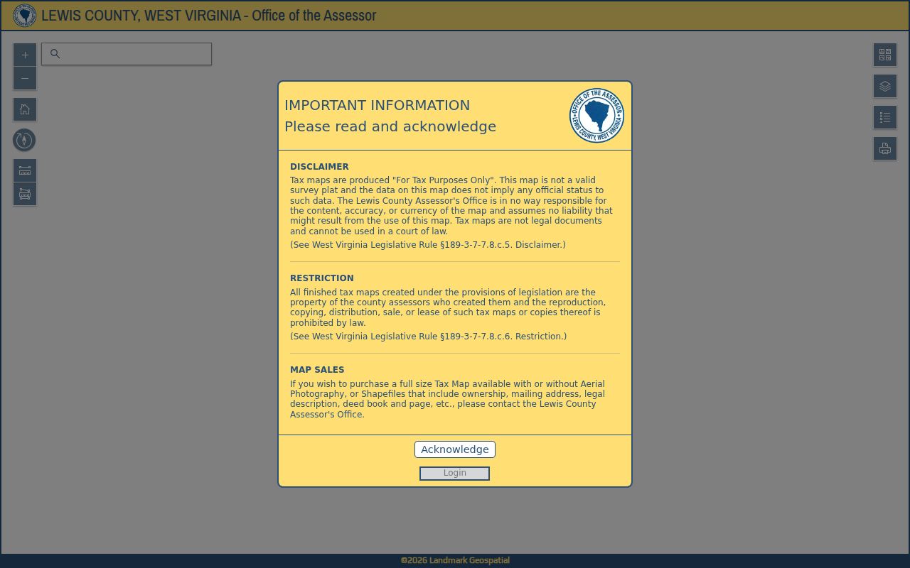
Open the Lewis County GIS parcel viewer and review its use limits before comparing nearby land.
Match Nearby Lewis County Parcels Across Record Systems
West Virginia's full parcel key has six parts. They are the county code, district, map number, parcel prefix, parcel suffix, and special ID. The state viewer may drop the Special ID. County CAMA and IAS material may drop the county code instead. A neighbor lookup can then display a shortened identifier. It may look nothing like the assessor card. Copy each source's displayed value exactly. Then compare the district, map, parcel, prefix, and suffix the records share. Those shared elements usually show whether two entries describe the same lot.
When an identifier stays unclear, give the Assessor the target address. Also give the neighboring map-card reference. Never guess a Lewis County code. Never fill in an element the source does not show.
Confirm Each Lewis County Neighbor's Owner Separately
Once a nearby parcel is on your list, search its assessment record on its own. The owner of record may be an individual, a trust, an estate, or a business. One parcel can also hold more than one tract. For a recent transfer, set the assessment display beside the newest recorded deed. The Assessor updates the owner-location layer on an annual cycle. That layer can lag a sale. The deed records the conveyance actually filed.
A boundary line is not a social boundary. A public owner listing never says who resides there. Keep names and addresses limited to what identifies the parcel and answers a legitimate question.
Use Plats to Understand Lewis County Lot Patterns
A plat shows the layout of a subdivision. A deed may cite a lot number or subdivision map. The County Clerk files plats among its land records. A plat can separate an adjacent lot from a nearby tract. It will not name the current owner. Match its recording reference and legal description against the current deed and the assessor parcel card before drawing conclusions.
Lewis County's GIS carries no neighborhood-name or homeowners-association layer. An old deed may still carry a private subdivision label. Treat that label as a clue. Confirm the plat it points to rather than assuming the viewer has a matching layer.
Account for Lewis County Parcel Map Changes
Parcel attributes and tax-map lines update on different schedules in Lewis County. The Assessor refreshes ownership attributes once a year. Transfer mapping follows a submission cycle. Transactions from July 1 through June 30 are submitted by the following February 1. Delinquent-land information updates weekly. Because of that stagger, a neighbor map can still show an old owner or line for a while after the deed is recorded. The lag is normal, not an error. A line or owner detail can look stale for more than two years. County guidance says to contact the Assessor at that point. For a newer discrepancy, work from the recorded deed and the current tax account. That shows the office which update is still pending.
Ask Lewis County About a Neighboring Parcel
Owner-location and tax-map questions go to the Assessor at 304-269-8205, or stop by 108 Center Avenue, Weston, WV 26452. Recorded deeds and plats belong to the County Clerk at 304-269-8215, 110 Center Avenue. Have the address, the district, and the map or parcel reference ready, plus the particular neighboring parcel you want identified. That preparation makes any property records question easier to answer.
If a viewer lacks a tool you expected, ask the office directly how to pin down the surrounding parcels. A precise question about one neighboring parcel works far better than a vague request for a block-wide list with no defined area.
County map reproductions and ownership shapefiles come through the Assessor, and reproducing them can require an office visit. Ask about map scale, delivery format, cost, and any use restrictions before requesting a block or a larger set of parcels. For broad mapping work, the West Virginia GIS Clearinghouse offers statewide surface-property GIS downloads, though those spatial layers should not replace the county parcel card when you need to identify one specific parcel.