
Reading the Lewis County Parcel Map
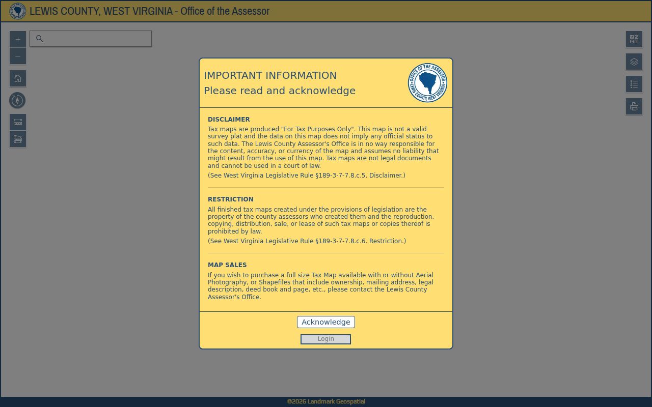
The Lewis County GIS viewer layers surface parcels with owner-location data, flood zones, and delinquent-property information. Effective and advisory flood data appear as separate layers. The tax map itself exists for assessment work. Published county material does not catalog every live tool, so a particular identify, buffer, print, or measurement control may not be present. Treat the map as a way to select a parcel worth researching. The deed or plat still controls the recorded description.
| Layer | What It Shows | Use |
|---|---|---|
| Surface parcels | Tax-map parcel shapes and associated parcel identifiers | Locate a surface property for follow-up |
| Owner-location data | Owner and situs information associated with mapped parcels | Cross-check the parcel card and tax map |
| Effective flood data | Published effective flood information | Identify an area for a separate flood-data review |
| Advisory flood data | Advisory flood reference layer | Compare with effective material while noting its status |
| Delinquent parcels | Weekly-updated delinquent-land information | Identify an account to verify with the Sheriff |
Write down the district and map/parcel identifiers from any map result. Then compare those details against the Assessor's map card and the Sheriff's tax account. Formats rarely match cleanly. The GIS Parcel ID can drop the state's special ID element. Meanwhile, CAMA/IAS assessor records can drop the county code. Matching a parcel across systems therefore takes careful comparison, not a copied short display number.
Finding a Lewis County Parcel by Address
Begin with a known street address, owner name, or parcel identifier. The county's surface viewer and the Assessor's map-card interface both serve as starting points. The map-card page offers District and Map/Parcel selectors. The GIS viewer may not expose those same controls or an address-search field. If the point is unclear, narrow the map using the Assessor's card information. Then confirm it against a recognizable location. A visual match is not a confirmed legal parcel. Verify any result with the office.
- Start with the address or district and map/parcel clues in the Assessor's mapping resources.
- Compare the mapped surface parcel and owner-location data with the assessor card; note any mismatch.
- Review effective or advisory flood information only as a map reference, and confirm details with the responsible floodplain office.
- Use a parcel identifier to request the deed, plat, or tax account that corresponds to the land.
- Parcel ID
- A key that links mapped tax parcels to assessment information; state and county displays may omit different elements.
- Plat
- A recorded map that depicts land divisions or other mapped information described in the filing.
- Lot and block
- A description that identifies land by reference to a recorded plat.
- Metes and bounds
- A written boundary description using courses, distances, and reference points.
What Lewis County Parcel Maps Do Not Prove
Lewis County warns that its GIS tax map is not a survey, legal document, or court evidence. It serves assessment and reference only. Acreage calculated in GIS can differ from deeded acreage. When they differ, the deeded description wins. The viewer's surface parcels also leave mineral ownership unmapped. For any boundary, area, easement, construction location, or mineral interest question, review the recorded instruments and obtain the survey or title work appropriate to the issue.
Not a survey. The mapped tax parcel is an approximate reference and cannot settle a boundary dispute. Use the deed and a licensed surveyor for a boundary determination.
Lewis County GIS Is a Tax and Planning Reference
The county's GIS disclaimer matters to every viewer user. Its information supports tax mapping, not legal surveys or court documents. Parcel geometry and associated details can change as the county processes records. Date any screenshot or downloaded map you keep. Treat it as a working reference only. Before relying on a line for a purchase, fence, road, building, or dispute, obtain the recorded legal description and professional survey evidence.
Read the Lewis County GIS viewer and disclaimer before relying on mapped parcel lines.
Decode the Six-Part West Virginia Parcel Identifier
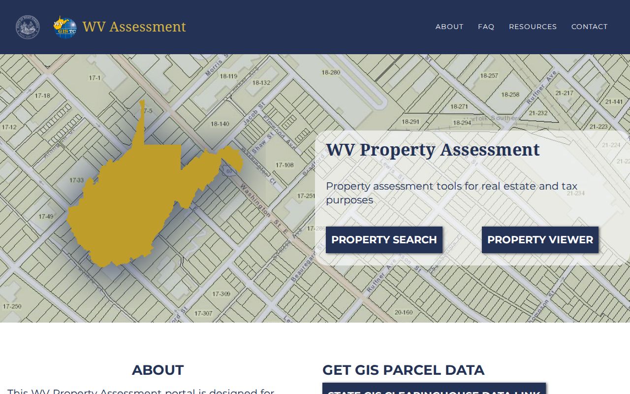
West Virginia's parcel key has six elements: county code, district, map number, parcel prefix, parcel suffix, and special ID. Lewis County materials shorten this. Labels like District-Map-Parcel or Map/Parcel are common, and individual systems may drop parts of the full key. The state GIS Parcel ID omits the Special ID. CAMA/IAS records omit the county code. Never invent a missing code. Also, do not assume two shortened strings point to different land before comparing the pieces. When you call the Assessor, copy each identifier exactly as the record displays it and name the source system. That habit makes it easier to resolve a prefix or suffix that vanishes when a parcel number is reformatted. A parcel key is an administrative index, not the legal description. The deed description and plat remain the controlling documents.
See the West Virginia assessment viewer's parcel-ID explanation for the statewide identifier structure.
Use a Lewis County Assessor Map Card to Confirm the Parcel
The Assessor's Map Card Viewer uses District and Map/Parcel selectors. Those selectors give another route to the card tied to a known tax map reference. Remember what the card is. It is an assessor product. Its description and acreage belong to the tax record, not to the recorded deed. If the viewer and a deed disagree, ask the Assessor how the tax map relates to the recorded legal description. A transfer does not always add a map line. The county reports its cycle. Map changes for transfers during a July 1 to June 30 period are submitted by February 1 of the following year. That lag is routine. It explains why a recent conveyance and the visible assessment map can appear out of sync.
Read Lewis County Effective and Advisory Flood Layers Carefully
The Lewis County GIS viewer draws effective and advisory flood information as separate layers. Keep the two straight. Neither layer works as a parcel-specific flood determination. A map cannot settle an insurance question either. Use the viewer to spot a question, then take it to the current authoritative flood map and the local floodplain administrator for a property-specific answer. What appears on screen, or fails to appear, says nothing about building eligibility, drainage performance, or insurability.
Weston's official city contact page names a building, code, and floodplain contact. Outside the city, ask the responsible county or state office. The map shows where extra review may be needed. It does not certify a site's regulatory status.
Allow for Lewis County Parcel Map Update Delays
The property viewer's attributes update once a year. That means an existing parcel transfer can lag behind the recorded transaction. The stated cycle runs July 1 through June 30 for transfers. Map submissions are due by February 1 of the following year. Not every update lands on that exact date. The cycle simply explains why a deed and a map may disagree for a while. When mapped lines stay stale for more than two years, contact the Assessor.
Delinquent-land information moves on its own weekly schedule. Check the date or status the source displays. Do not assume a tax-account change has carried over. Remember that the Clerk's land records, the Assessor's map, and the Sheriff's tax bill are separate systems. Each is maintained on its own cycle.
Find Recorded Lewis County Plats and Downloadable GIS Data
A plat is a recorded land document. A GIS shapefile is a digital map dataset. The Lewis County Clerk lists plats among its land-record categories, so use the deed's reference or the parcel description to find the related plat. For statewide surface-property data, the West Virginia GIS Technical Center offers free downloads through its Clearinghouse. The dataset supports analysis and mapping. It still cannot promise that any individual parcel is current or legally surveyed.
Open the West Virginia GIS Clearinghouse for statewide GIS data and download information.
Request Lewis County Map Copies Through the Assessor
The Lewis County Assessor handles map products and ownership shapefiles. Copy requests require a visit to the office. Before you plan to reproduce or redistribute anything, ask about the specific map, the format, the reproduction charge, and any usage restrictions. No public online ordering workflow or universal map-copy fee exists for these materials.
The Assessor's office sits at 108 Center Avenue, Weston, WV 26452, and the phone number is 304-269-8205. Bring the district and map or parcel identifiers, an address or owner clue, and your reason for needing the map. Route your question to the right office. Tax assessment matters go to the Assessor. Deed or plat images come from the County Clerk. Keeping the source record separate from the map product helps a request reach the correct desk.